How to Edit Unit Speeds in General Staff

We recently had a series of very spirited discussions about the speed of units in various formations and across different terrain types during the Napoleonic Era in the Facebook Wargaming groups. A number of people were very kind to forward documents, tables and charts that had estimates of unit speeds. But, one thing that quickly became apparent was there was quite a bit of disagreement about, “how fast could a unit march,” in the 19th century.

Furthermore, we hadn’t even begun to talk about battles that took place in bad weather (the battles of Stone’s River and Fort Donnelson during the American Civil War come to mind).

The solution, obviously, was to allow the user (the scenario designer) to have complete control over these values. Consequently, we’ve added a very easy to use utility to facilitate editing and displaying unit speeds in various formations across different terrains.

Below is a video we created that demonstrates these utilities:

First Look at the General Staff Scenario Editor

The General Staff Scenario Design module allows users to create new battle scenarios by combining any two armies created in the General Staff Army Design module with any map created in the General Staff Map Design module. 

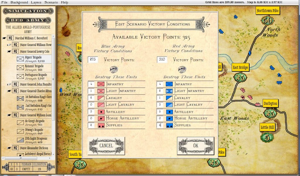
This screen shot of the General Staff Scenario Editor shows how victory conditions are established for a scenario. Click to enlarge.

The General Staff Wargaming System allows users to create armies, maps and battles from the Age of Gunpowder. These can be historical recreations or completely new ‘what if’ scenarios.

How to Import Scanned Maps Into the General Staff Wargaming System Video Tutorial

We just completed the second tutorial video: How to Import Scanned Maps Into the General Staff Wargaming System. These video tutorials are available both on YouTube and they are accessible directly from the General Staff Map Design Module itself. Many thanks to Jason A. Stuart for the narration and Ed Isenberg for the tremendous video editing.

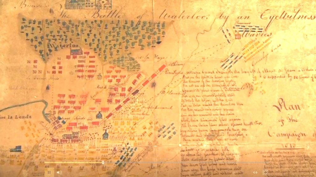
A Map of Waterloo Created by an Eyewitness

Screen shot of the Map of Waterloo painted by an Eyewitness from Antiques Roadshow. This image has been brightened and the contrast increased for legibility. Click to Enlarge.

I happened to be watching Antiques Roadshow from Exeter on BBC America last night when this extraordinary map of the battle of Waterloo was presented. Though it bears no date or signature, it clearly was painted, “by an Eyewitness” shortly after the battle itself. I was immediately struck by the lettering  and how similar it was to our efforts in General Staff to recreate the look and feel of 19th century maps for our wargames.

Below is the link to the entire segment hosted on the BBC web site:

Link to Antiques Roadshow BBC clip, “Map of Waterloo A beautifully detailed map of the 1815 Battle of Waterloo drawn by an unnamed eyewitness.”