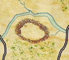
We need your input on how elevation (hills and ridges) will be displayed in General Staff. Originally we had planned on using ‘splash contours’. Splash contours were often used in quick sketch maps on the battlefield and they have an authentic look to them.
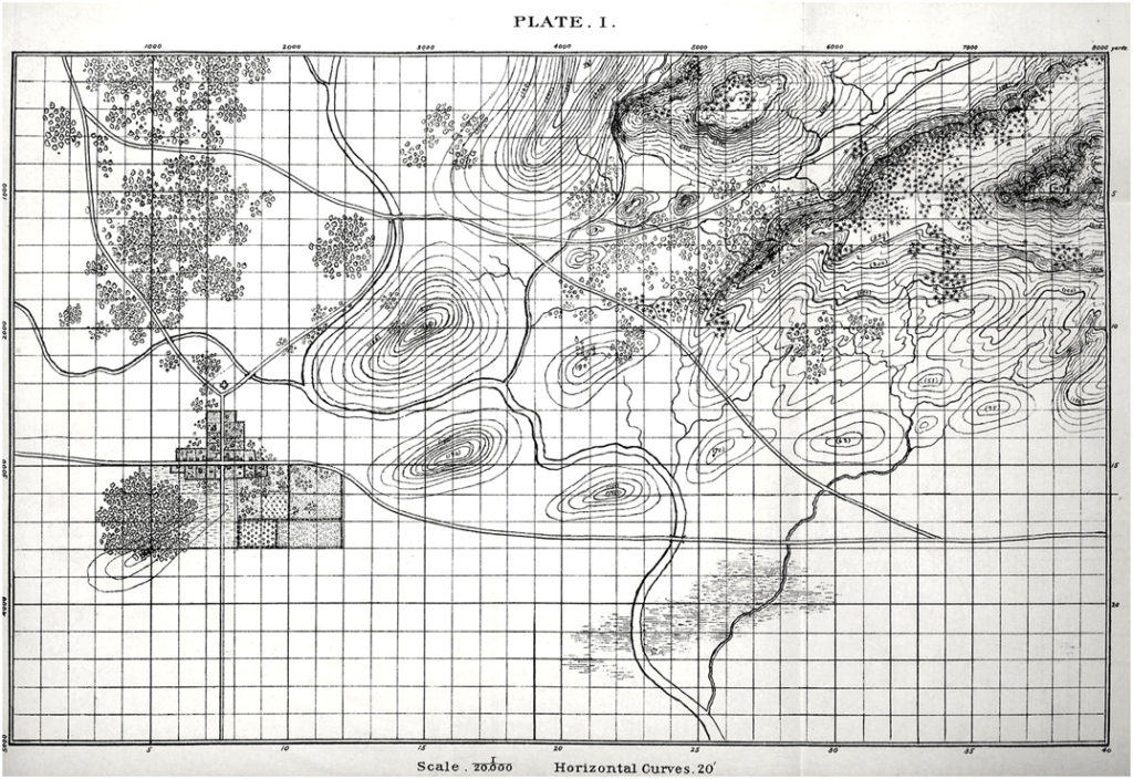
However, recently “Cry Havoc” – a Grognard on Facebook – asked if we were going to include the original Kriegsspiel Meckel map with General Staff. That got us thinking and taking another look at the original Kriegsspiel maps. Below is a map from the original American Kriegsspiel (circa 1892-8):

An original American Kriegsspiel map (circa 1892). Note the elevation contour lines. Click to enlarge.
Obviously, concentric elevation contours were in use in the 19th century so we could be authentic using either method of display.
This leads us to a very simple user survey:
[os-widget path=”/drezrasidran/splash-contours-or-concentric-elevation-contours” of=”drezrasidran” comments=”false”]


I guess that depends? Will elevation be “binary”, as in tacOps 4.0 where you would have “hight 1” and “hight 0”, or more like in Command Ops where elevation is “flowing” over mutiple metres above sealevel?
Cheers
No, elevation won’t be binary. There are a number of earlier posts that describe the elevation map and how it’s used for 3D :Line of Sight, speed of movement, attack, defense, etc.
Elelevation Contours it is then!