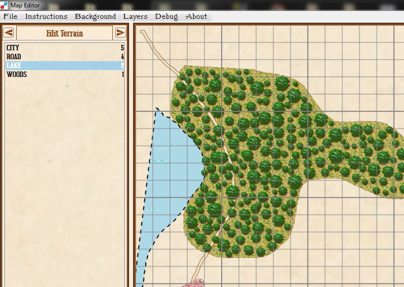
Screen capture showing support for multiple drawing layers and vector graphics in the Map Editor. Click to enlarge.
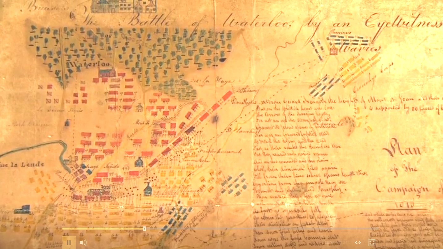
Normally, following game development is about as exciting as watching paint dry. I should know as I’ve created a good number of games and I’ve painted my fair share of walls. But, I am completely blown away by the enhancements that Andy O’Neill has made to the General Staff Map Editor. The above screen capture of the Map Editor shows just a few. Andy has added support for Microsoft Windows Ink which includes support for drawing tablets and styluses.
The Map Editor now also uses multiple drawing layers (just like PhotoShop). This allows for infinite levels of undo. In the above screen capture you can see how the road snakes through the forest. And, speaking of the forest, Andy’s new ‘tree algorithm’ looks fantastic (when you draw a forest the trees magically grow before your eyes).
If you would like to follow along with the new developments, Grogheads has kindly given us a space on the forum for posting updates: http://grogheads.com/forums/index.php?topic=21270.0. There are now four pages of updates and screenshots. Please feel free to drop by, take a look and post a comment or request a feature.