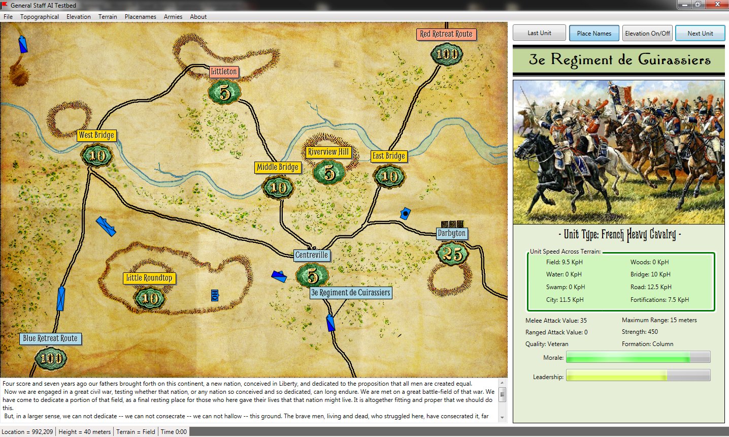
We have been going back and forth on the question of: should General Staff have a 2D or 3D battlefield? Arguments can be made on both sides. The key points for 3D are:
- we already are storing all the necessary data (we know the height of every square meter on the battlefield)
- we have topographical maps that we can use for the 3D texture
- being in 3D may increase General Staff‘s popularity
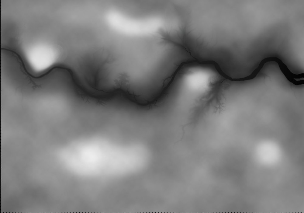
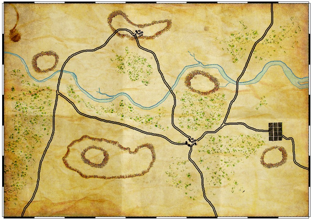
A General Staff topographical map in 2D. (Click to enlarge.)
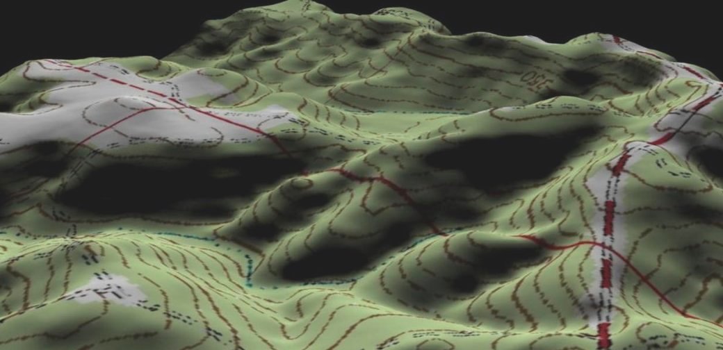
So, after going back and forth on this issue for many months, we finally did some tests (thanks Ed Isenberg!). And here is what the same topographical map looks like utilizing our stored elevation data:
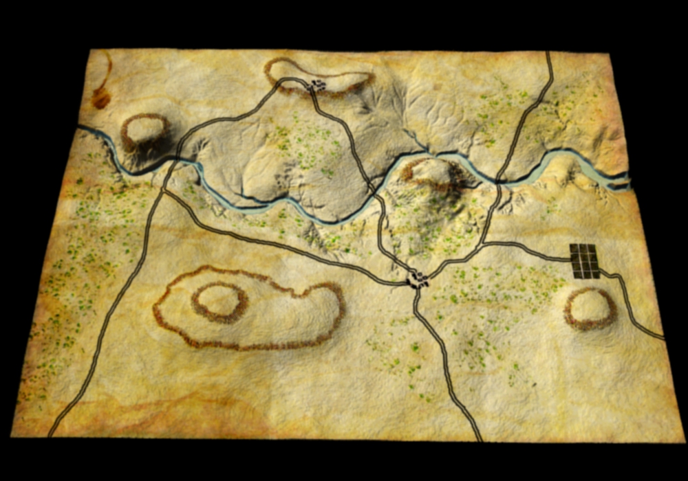
The same topographical map rendered in 3D. (Click to enlarge.)
Well, it’s definitely 3D. But, it appears to me, that we’ve lost more than we have gained. The user hasn’t acquired any new information; hills, rivers, ridges and valleys were all quite apparent in the 2D map. We’ve also lost that wonderful historical Kriegsspiel feel of Victoriana typography and cartography. Our 3D display looks like a wrinkled pigskin and not a map that was used by the General Staffs of the great armies of the world. Also, not being in 3D will facilitate porting General Staff to smartphones.
We certainly would like to hear your opinion. But, as things stand now, General Staff will be moving forward in 2D.